Rivers in Syria have long shaped the country’s geography, settlement patterns, and historical evolution. Flowing through plains, mountains, and coastal regions, these waterways supported agriculture, enabled trade routes, and influenced the rise of some of the region’s earliest cities. From the Euphrates in the east to the Orontes and Barada in the west, the major river systems form an essential yet often understated part of Syria’s natural and cultural landscape.
Although large-scale river tourism remains limited today, the historical and environmental importance of Rivers in Syria continues to define regional identities and long-standing patterns of life. Understanding these rivers offers insight not only into geography, but into the deeper story of how communities flourished around water for thousands of years.
Quick Overview | Rivers in Syria
| River | Region | Length | Type | Historical Significance |
| Euphrates | Eastern Syria | ~2,800 km (total) | International | Early civilizations & irrigation |
| Orontes | Central-West | ~571 km | International | Historic cities & farming plains |
| Khabur | Northeast | ~486 km | Tributary | Assyrian settlements |
| Barada | Damascus Region | ~84 km | Urban river | Foundation of Damascus |
| Balikh | Northern Syria | ~100 km | Tributary | Early rural settlements |
| Afrin | Northwest | ~131 km | Regional | Agricultural communities |
| Quweiq | Aleppo Region | ~129 km | Regional | Historic urban supply |
| Al-Kabir (North & South) | Coastal Border | 38–58 km | Border rivers | Irrigation & local trade |
The Euphrates River
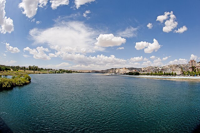
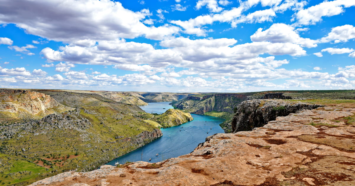
The Euphrates is the largest and most influential among the Rivers in Syria. Entering from Turkey and flowing southeast toward Iraq, it crosses wide plains that have supported settlement for millennia. Cities such as Deir ez-Zor and Raqqa developed along its banks, sustained by irrigation and fertile soils.
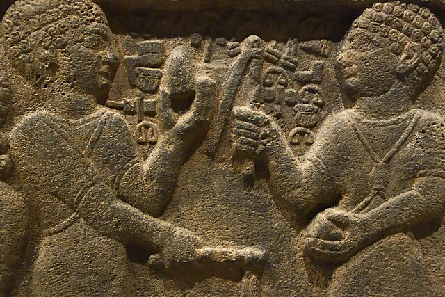
Historically, the Euphrates played a central role in the development of early Mesopotamian civilization. Agricultural surplus enabled population growth, administrative systems, and trade networks that shaped the broader region. Even today, the Euphrates remains vital to eastern Syria’s agricultural economy, reinforcing its long-standing strategic importance.
The Orontes River
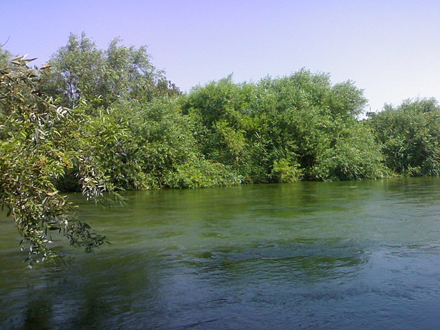
Flowing northward—an uncommon direction in the region—the Orontes River passes through Homs and Hama before continuing toward Turkey. It has long supported the fertile Al-Ghab plain, ensuring agricultural continuity across centuries.
In Hama, the historic wooden norias (waterwheels) stand as enduring symbols of the relationship between water and urban life. The Orontes is not simply one of the major Rivers in Syria; it is closely tied to the identity of the cities it sustains and the rural landscapes it shapes.
The Barada River
Though relatively short, the Barada River holds exceptional historical significance. Flowing through Damascus, it transformed arid surroundings into the fertile Ghouta oasis. Without the Barada, Damascus may not have emerged as one of the world’s oldest continuously inhabited cities.
Among the Rivers in Syria, Barada represents the intimate link between water and urban survival. Even as modern development has altered its visible flow, its historical importance remains foundational.
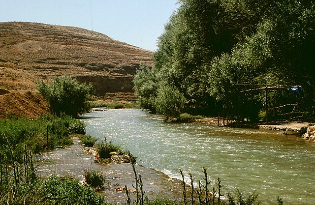
The Khabur and Balikh Rivers
The Khabur River, a major tributary of the Euphrates, flows through northeastern Syria. Its fertile valley supported Assyrian settlements and early agricultural communities. Numerous archaeological sites along its course reveal sustained habitation over thousands of years.
The Balikh River, another tributary, similarly enabled rural settlement and farming networks. Though smaller in scale, these waterways form an essential part of the broader system of Rivers in Syria, illustrating how interconnected river networks expanded the reach of civilization.
Northern and Coastal Rivers
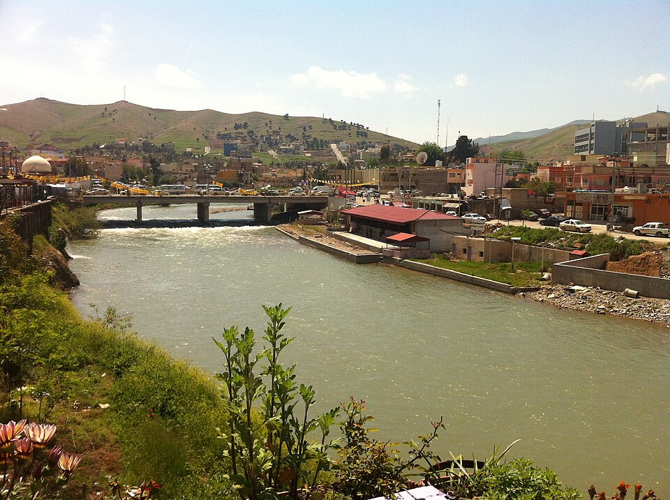
In northern Syria, the Afrin and Quweiq rivers supported agriculture and urban development, particularly around Aleppo. Historically, the Quweiq served as a significant water source for the city.
Along the Mediterranean region, the Al-Kabir rivers form natural frontiers and irrigation channels. These coastal waterways reflect Syria’s environmental diversity, from inland plains to maritime landscapes.
Together, these rivers complete the mosaic of Rivers in Syria, each contributing to regional stability and agricultural continuity.
Archaeological Sites Near the Rivers in Syria
Many of the major Rivers in Syria flow near archaeological sites that reflect thousands of years of settlement and cultural development. River valleys historically served as natural corridors of civilization.
Along the Euphrates, important sites such as Dura-Europos and Mari (Tell Hariri) illustrate the strategic role of water in shaping Bronze Age and classical cities. Near the Khabur River, sites like Tell Brak demonstrate the emergence of early urban centers within fertile river valleys.
The Orontes River is closely associated with Apamea, known for its grand colonnaded street, as well as fortified settlements such as Shayzar. In Damascus, the Barada River enabled the rise of the historic city whose Umayyad Mosque and old quarters remain lasting cultural landmarks.
Even smaller rivers reveal traces of long-term settlement, with archaeological mounds and rural remains scattered near Afrin and the coastal river systems.
In many ways, following the course of a river in Syria is equivalent to tracing the timeline of civilization itself.
Nearby Historical Landmarks Along the Rivers
- Euphrates River: Qal’at Ja’bar, Mari (Tell Hariri), Dura-Europos
- Orontes River: Apamea, Shayzar Castle, Hama Norias
- Barada River: Umayyad Mosque, Old Damascus, historic Ghouta region
- Khabur River: Tell Brak and Assyrian-era sites
- Afrin River: Ain Dara Temple and surrounding tells
- Coastal Rivers: Saladin Castle, Ugarit (near coastal waterways)
Civilizations and River Valleys
Throughout history, Rivers in Syria enabled the transition from nomadic movement to permanent settlement. Reliable water sources allowed irrigation systems to flourish, generating agricultural surplus and encouraging urban development.
Trade routes frequently followed river valleys, linking inland settlements with broader regional networks. Archaeological discoveries near these waterways confirm that rivers shaped not only where people lived, but how economies and political systems evolved.
Future Potential and Sustainable Development
While river-based tourism in Syria remains limited today, the long-term potential of Rivers in Syria lies in carefully managed, sustainable initiatives. Rather than large-scale commercial development, smaller heritage-oriented and eco-sensitive projects could highlight river landscapes and archaeological surroundings.
Controlled river trails, cultural heritage routes, and preservation of traditional irrigation systems may offer future opportunities, provided environmental and historical considerations remain central.
See Also: Waterfalls in Syria
Conclusion
The importance of Rivers in Syria extends far beyond physical geography. They shaped agriculture, enabled urban continuity, and supported some of the region’s earliest civilizations. From the vast Euphrates to the life-giving Barada, each river reflects a different dimension of Syria’s environmental and historical identity.
Understanding these waterways offers a deeper perspective on the country’s past and its long-term potential. In Syria, rivers are not only natural features—they are enduring frameworks of civilization.
Sources & References:
UNESCO – World Heritage Centre: https://whc.unesco.org
Archnet – Architecture & Heritage Database: https://www.archnet.org
World History Encyclopedia: https://www.worldhistory.org
Syrian Heritage Archive Project: https://syrian-heritage.org
Global Encyclopedia: Wikipedia